


- Best translations
- New feature: App can create a sight line
- Fixes -
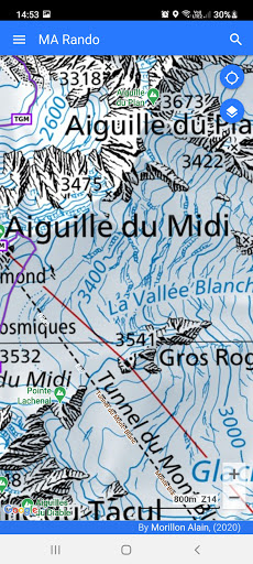
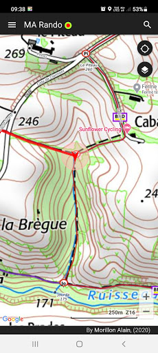
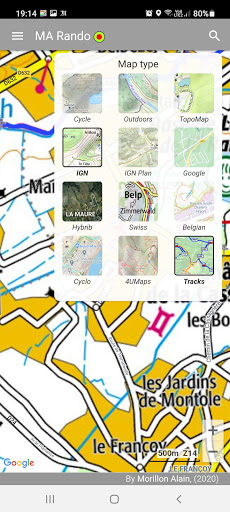
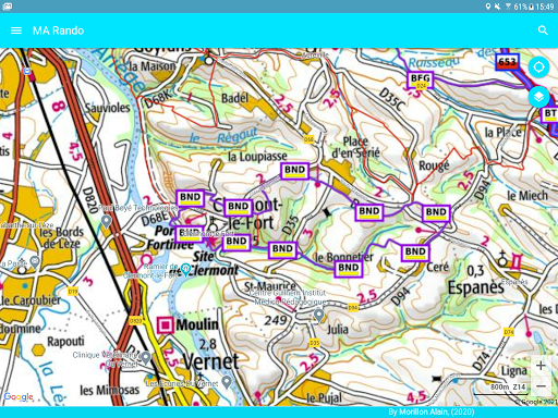
MA-Rando is the easy-to-use application. That outdoors app is your hiking GPS. The following maps are available: CalTopo, Spanish, Swiss, Belgian, 4uMap, OpenTopoMap, Cyclo maps ...
Whether you are a hiker for skiing, for horsing, for mountain biking, for cycling or whether you practice trail running, hunting or picking mushrooms.
MA-Rando is the best tool for you. MARando will help you on your hikes
MA-Rando lets you download the offline maps you need.
On the premises, without a mobile network, you keep the display of these maps.
The application is economical and will record your entire route even after 12 hours of operation.
The application offers:
- sending your GPS position in case of emergency
- view your position on the map (GPS position, altitude, speed).
- record your track and quickly notify you on your altitude, distance, ...
- sending your route to other people
- follow a previously loaded GPX or KML track
- keep a history of your outings and imported tracks
- listen to a voice guidance to follow a route
- display information of your route (speeds, duration, distance traveled, breaks, elevation)
- to save the maps in cache for operation in "off-line" mode
The principle of downloading is simple. When you have access to a network (Wifi, 5G, 4G, 3G, ...), you download the maps in an area that you define or from a GPX file containing the route.
Getting started with the application is easy, the "Help" menu is available to help you.
For any suggestions or improvements, contact: [email protected]