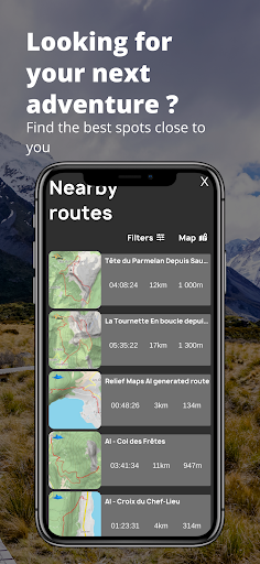
- Added filters to nearby routes
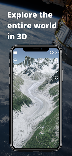
3D maps
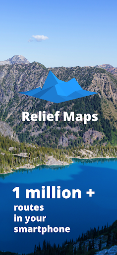
Enjoy the best of cartography with Relief Maps, browse maps of the whole world in 3D on your smartphone.
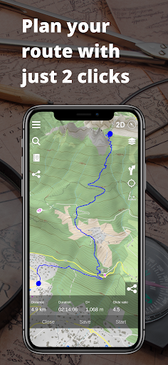
Plan the ideal route whatever the activity
For your next hike, trail or trek. In just a few clicks, get all the information you need: distance, elevation, estimated time.
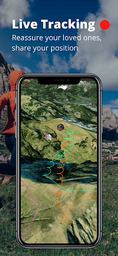
No more worries for your loved ones, share your location in real time.
All your maps offline, anywhere, anytime
Download your favorite maps and routes in one click. Browse them whenever you want, even without an internet connection.
World coverage
Explore roads and trails all around the globe with our global coverage.
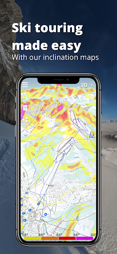
The best maps at your disposal
Need an even more accurate map? Consult USGS maps: topo map, satellite, everything you need!
Compatible with Strava
Log in to your Strava account and view all your tracks in 3D!
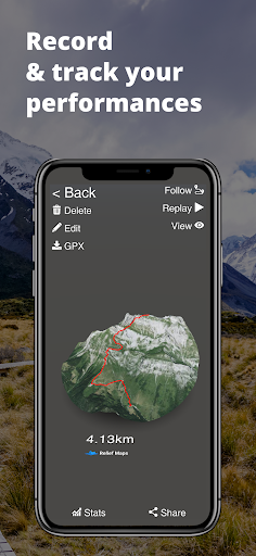
Replay
Record or import your tracks and replay them in 3D. A great way to share your performances.
Our other features
GPX Import
Track Recording
Statistics about your performance