


Show current weather, link your routed routes to your account and many more improvements.
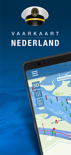
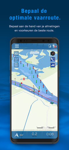
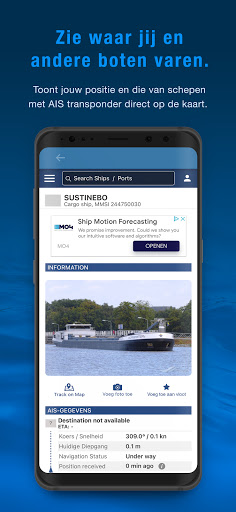
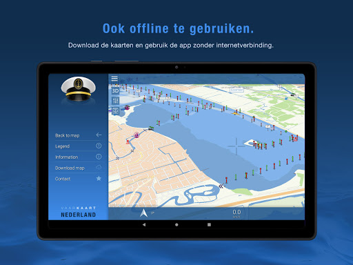
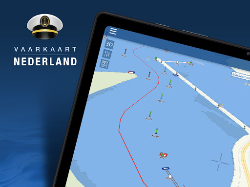
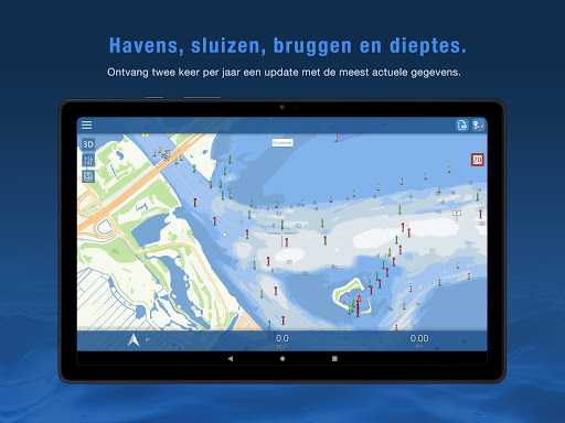
Nautical map (The Netherlands) is an online waterway chart and almanac which immediately displays all information relevant when traveling over water in The Netherlands. It is also an great tool to plan your cruise.
Nautical map NL includes:
- More than 8,000 buoys, barrels and other floating waterway markings.
- More than 4,500 docks and warfs.
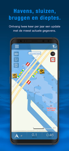
- More than 2,500 bridges, including height, width and operating times.
- More than 300 locks including operating times.
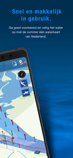
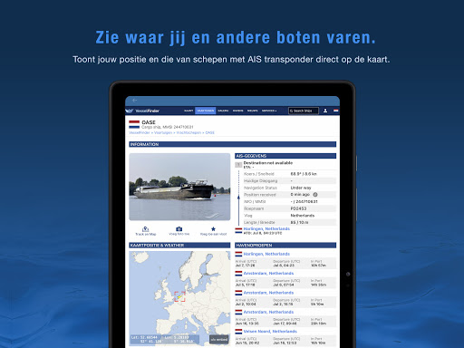
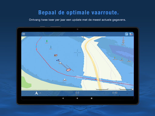
- Display of current speed and course.
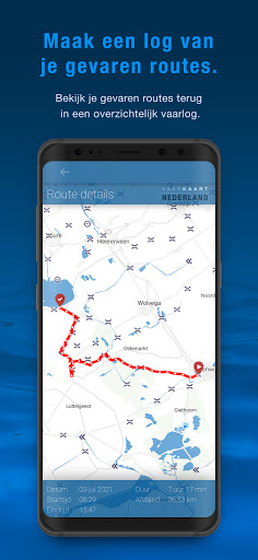
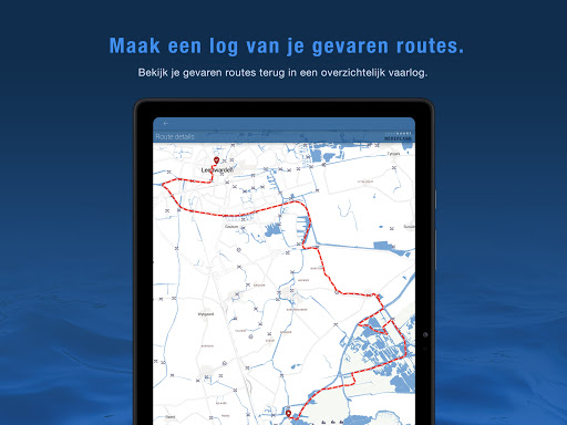
- Graphical representation of the traveled route.
Agreements: http://www.vaarkaartnederland.nl/voorwaarden