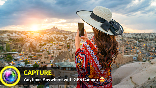


When you take a picture, this application will paste the map, address, weather and date to picture. (GPS latitude/longitude information also could be included)
This application is easy to get/set GPS location and GPS coordination for GPS Tag request.
When GPS Map Camera start, map/address/weather will be displayed on the camera preview. You can check the location/coordination before camera capture.
If you want to fine tune the location, manually setup the latitude and longitude also supported.
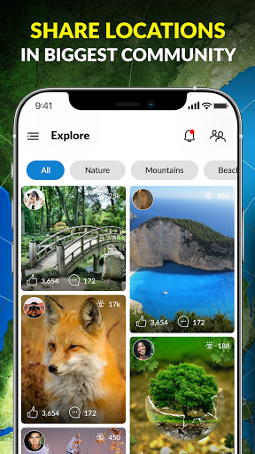
Share in community
you want to let the people know from worldwide that you found something extraordinary or you want to know some information, Just geotag the picture you taken and publish in our community section, People from all over the globe will explore that and help you in your query.
A perfect app for Explorers and Adventure finders