


v7.6
- Included Noromet stations
v7.5
- Included irradiation support
- Included DHV locations database
- Improved summary visualization
v7.2
- Included hike & fly tracks
v7.0/Izei
- Improved user interface
- Updated station list
- Improved map including fly spots
- Improved widget support
- Catalan translation (Santi Serra)
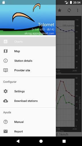
App designed for air sport lovers, specially paragliding pilots. Shows in a simple way the wind progress during the past hours using actual wind readings. Initially focused on Spanish stations (>1000), at version 4 more than 10000 world-wide airports have also been included.